

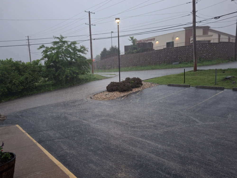
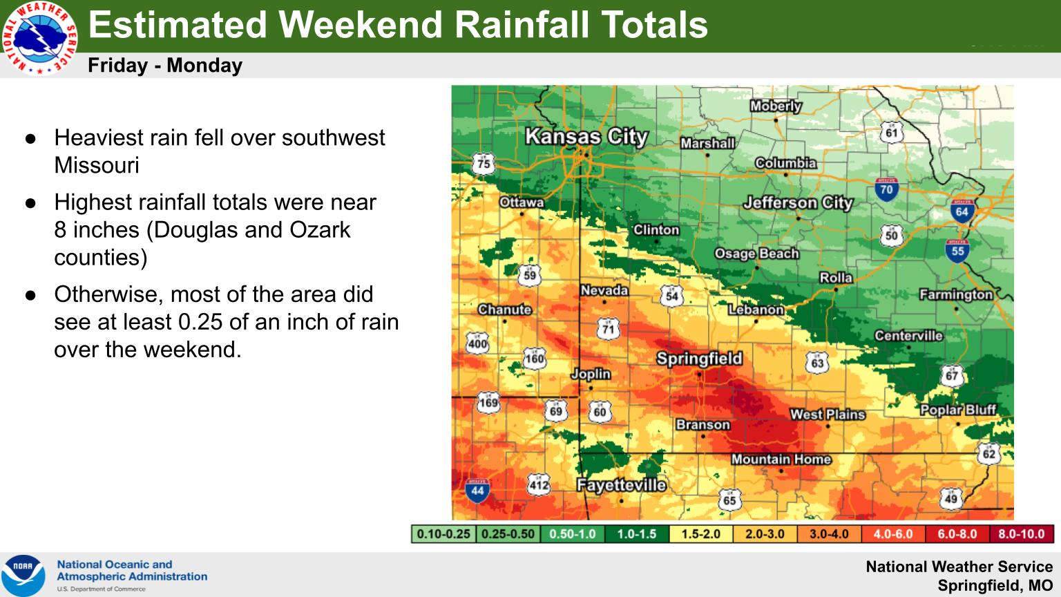
Round Two of Showers and Thunderstorms arrive Sunday morning bringing more rain to the Lakes Region.
Showers started moving through early Sunday morning which included a Severe Thunderstorm Warning for a time for northern parts of Stone and Taney Counties but no severe weather has been reported at this time.
The heavy rain continues to be the biggest threat with these storms as the National Weather Service has issued another round of Flash Flood Warnings have been issued for the Branson area and all of Taney County as well as northern Stone County through the early afternoon. Rain fall averages of one to two inches an hour have been falling and are predicted to continue for much of the morning.
The NWS has also continued the Flood Warning for the James River at Galena as moderate flooding is now expected at that site. The current forecast calls for the river to crest at the gauge site around 24 feet, or nearly 10 feet above Flood Stage by Monday afternoon then drop back below Flood Stage by Tuesday afternoon.
No Flood Warnings at this time have been issued for northern Arkansas but water levels including at the Buffalo National River continue to be on the rise with rain falling.
As with Saturday, another break in the rain is expected Sunday afternoon before another wave comes through Sunday night into Monday.


 Lakes Region Endures Rainy Holiday Weekend
 Vehicle Pursuit Involving Under-Age Driver Ends in Harrison
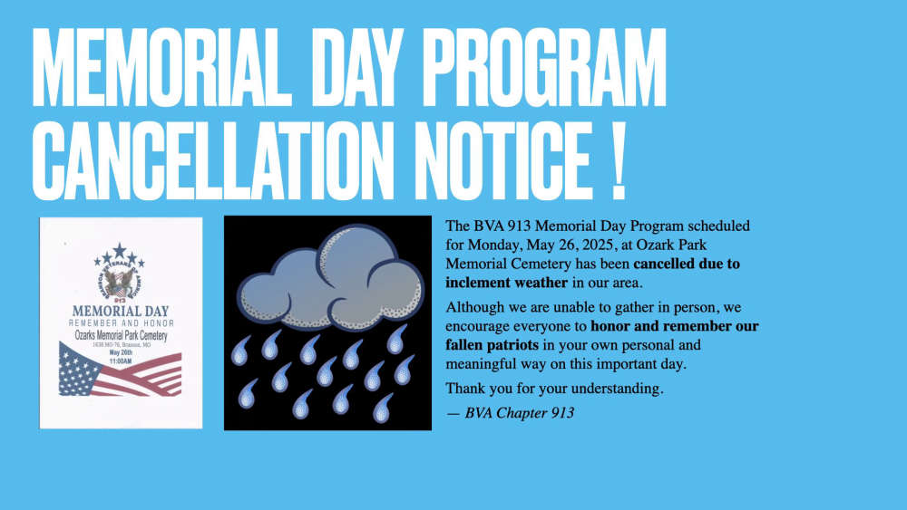 Annual Branson Memorial Day Ceremony Cancelled Due to Weather
 Flood Watch Ends for Some, Continues for Others on Memorial Day