

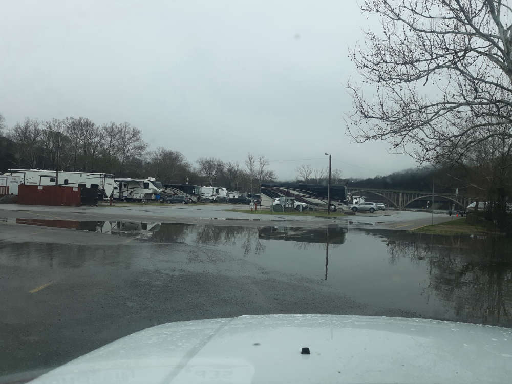
The rain has exited the Lakes Region but flooding will remain an issue for several areas during the weekend.
Reports to the National Weather Service indicates some areas received close to six inches of rain that started Thursday and ended early this morning in some areas.
While the Thursday's round of rain impacted heaviest in Missouri, some heavy rain moved through areas of northern Arkansas on Friday causing several Flash Flood Warnings to be issued for parts of Newton and Searcy Counties. One report indicates around two and a half inches of rain fell in the Jasper area.
The Friday rain did create more issues in Missouri with several roads, including Highway 413/265 between Galena and Crane and Highway 76 in Cape Fair closed for a time due to flooding. Those roads are reopen according to the Missouri Department of Transportation but Highway 413/265/248 between Reeds Spring and Galena was closed Saturday morning due to flooding. High water also impacted the Hurley area in Stone County as well as Cassville in Barry County.
In Branson, Roark Creek was out of its banks while several areas of the James River from Galena all the way towards Springfield was out of its banks. Some Flood Warnings remain in effect for Saturday morning while the National Weather Service says the James River will not crest until Sunday afternoon, when it reaches 26 feet which is 11 feet over Flood Stage. The Flood Warning for the James River remains in effect until Tuesday morning.
Another area of the James River, around Boaz, recorded four and a half inches of rain according to a report to the NWS.
Most of the weekend will be dry with a slight chance of rain on Sunday with temperatures primarily in the 60s. The next major chance for rain will be late this coming week.


 ASP Announces CSAM Arrests, One in Lakes Region
 Sunny, Hot Friday Makes Way for Rain during the Weekend
 Body Found in Oak Grove Investigated as Homicide
 Few Tickets Remain for Glen Campbell Tribute Show