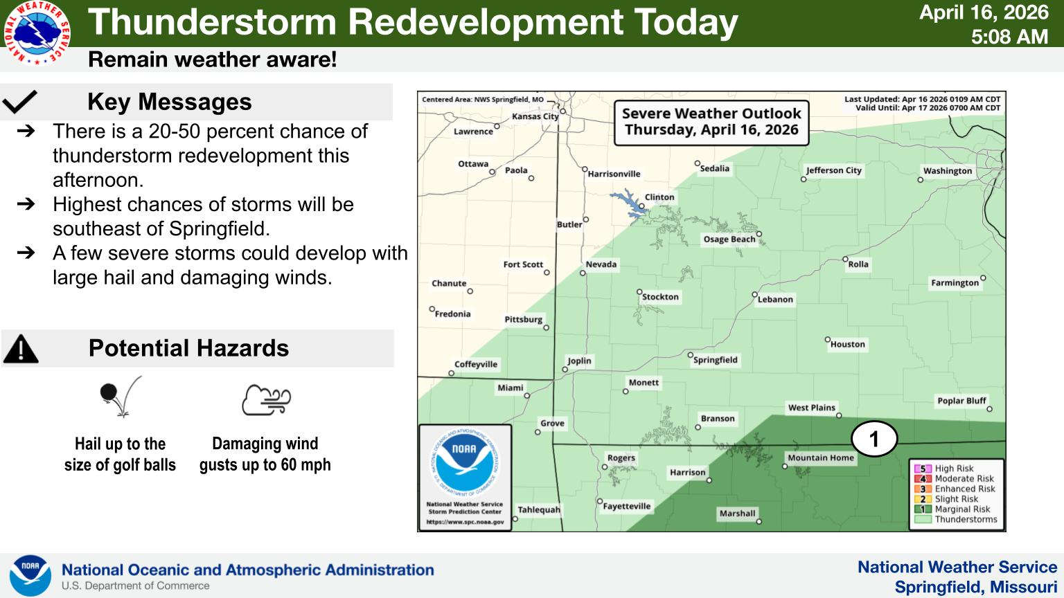
While the strongest storms missed the Lakes Region Wednesday, another two rounds of storms are possible over the next 48 hours.
National Weather Service Forecasters indicate the storms will redevelop with areas southeast of a Branson-Harrison Line at a Marginal Risk. Many areas will remain dry today.
The bigger chance for storms will come on Friday as rain chances increase during the day with a Marginal to Slight Risk of severe storms with hail and damaging wind the primary threats. Heavy rain is possible at times with these storms.
The second front will drop temperatures into the 60s by Saturday with overnight lows in the upper 30s to low 40s.
 Final Hot Day Ahead of Front Bringing Cooler Temperatures, Rain
 One Person Injured in Fall Down Elevator Shaft
 Bell: Events All Through the Lakes Region are Good for Whole Area
 Sanders Issues Disaster Declaration for Marion, Searcy Counties Due to May Storms
 NTSB Releases Details on May Plane Crash near Berryville


